Almost a year ago I came up with the idea for an epic one-day mission on Maui: Hike from sea level to the top of Haleakala, a dormant volcano with a summit at 10,000 feet, then ride a bike down the paved roads on the other side, almost 80km, back to where my parents live.
Last week, I made it happen.
On Friday, I rented a bike and drove it up to the to the summit, then went to bed super early that night.
On Saturday morning, I woke up at 4:00am and got picked up at 4:30am.

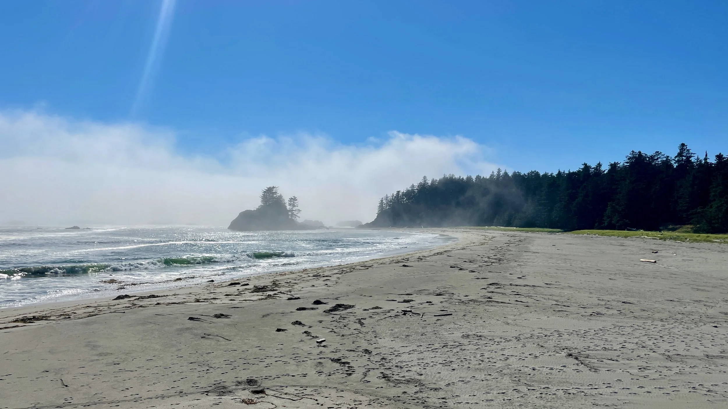
At 6:15am, my ride and I arrived at this spot just a little bit north of the Kaupo General Store (its on the East side of the island, south of Hana). It wasn’t exactly sea level, but close enough for my purposes. Once it was light enough, I said goodbye and hiked down the road to the trailhead.

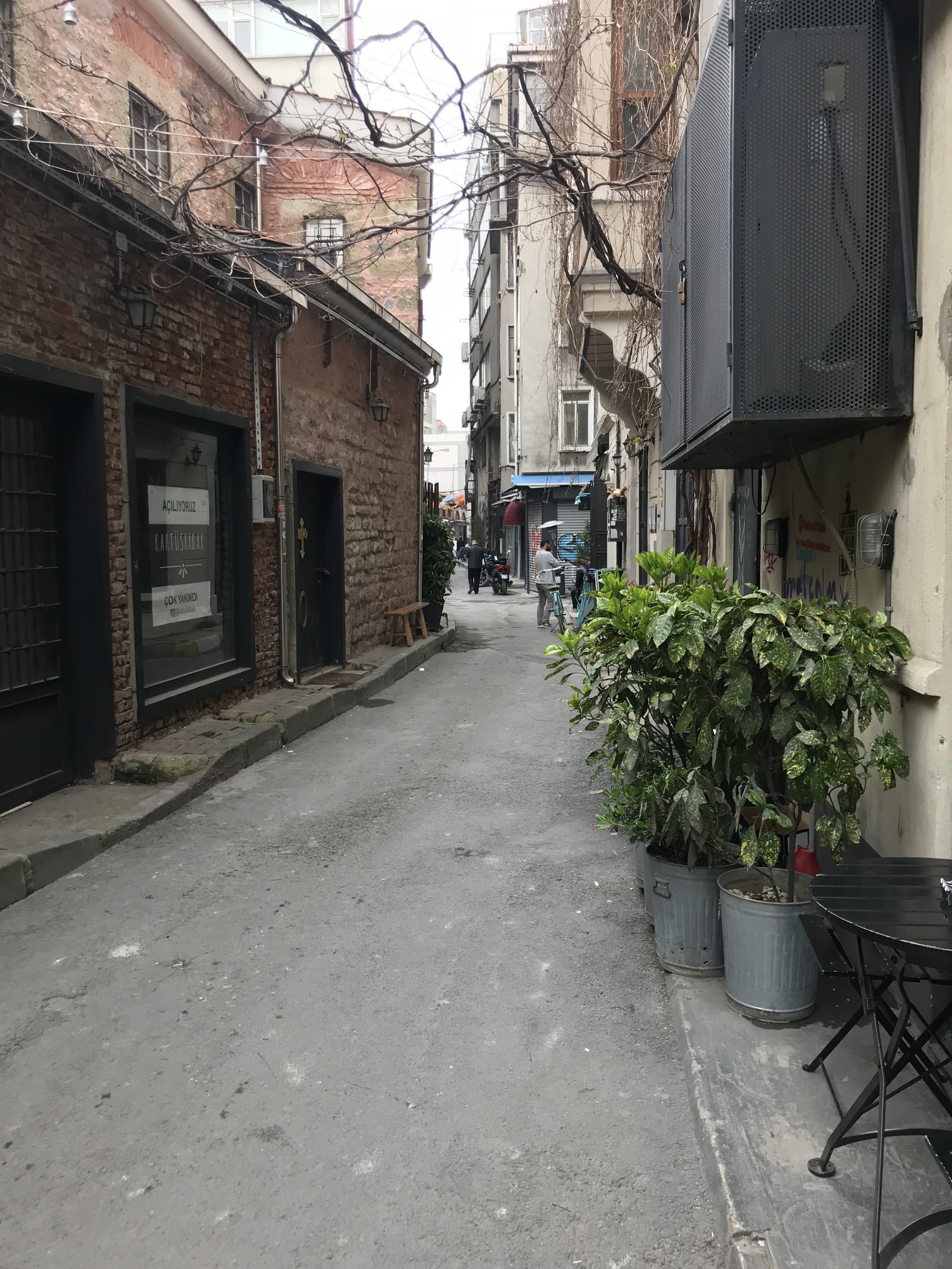
Walking along the road on the way to the trail head - this seemed like such a perfect Hawaiian scene.

After gaining some elevation, I saw the edge of the sun hitting the rim of the crater.

Stopped for a drink of water and a snack here, looking South East.

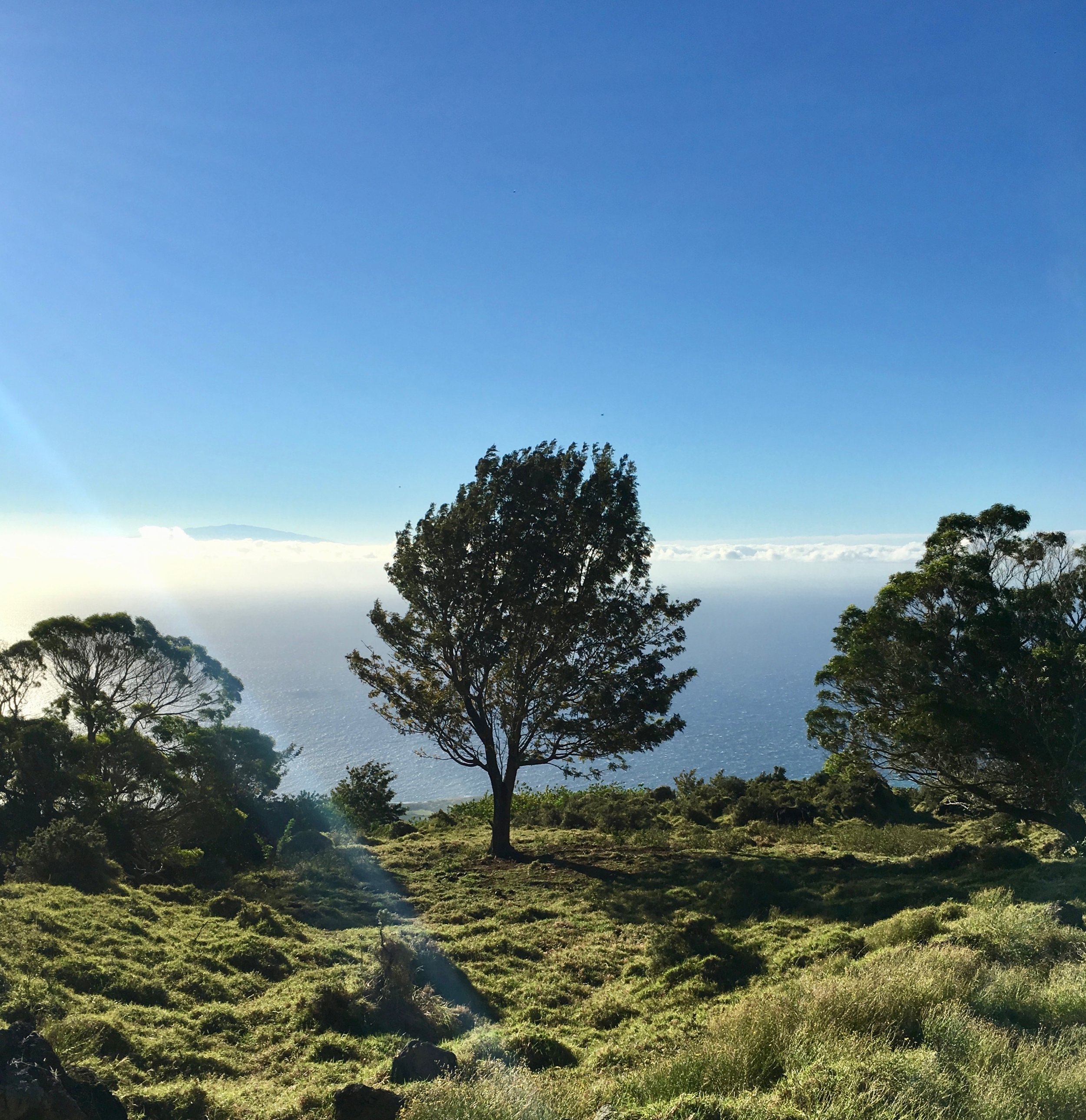
I thought this tree looked neat - plus you can see the tip of the big island above the clouds behind it. Elevation here is around 1000m/~3,000 feet.

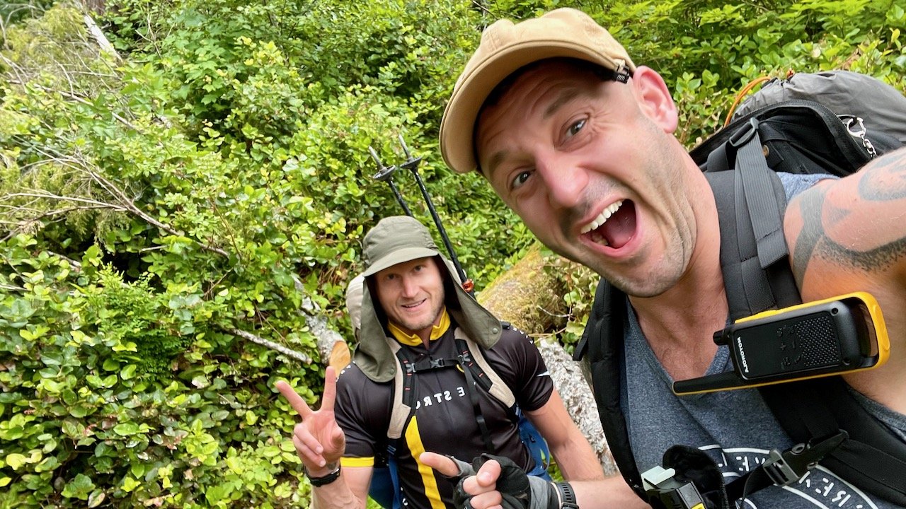
Just before entering the national park boundary - the “trail” is a little bit tricky to find (I don’t think many people hike this route. It’s a good thing I had a good GPS app!)

The view after a few hours of hiking - almost above the clouds here. The trail was a bit better, and I regret that I didn’t get a better picture of the crater wall (just to the left in this photo). It was massive, and really gave you an idea of the scale of Haleakala.

In the crater properly now - it’s an incredibly desolate and beautiful landscape. It feels like Mars (which is probably why I like it so much - if you know me, you know my obsession with the Mars trilogy by Kim Stanley Robinson).
The summit is barely visibly in the left of this photo. The elevation of the crater floor is around 2,000m.

View from the summit, at around 3,000m or 10,000 feet. The last 500m climb was incredibly tough- I was super exhausted after hiking for 7ish hours, and was also really feeling the elevation.
The far wall is where I hiked from, and almost the entire last third of the hike is visible in this photo.
Look closely and you can see a near-full moon (there’s probably a better term for that…) in the sky.

Then after a short break for water and to text my parents (gotta let them know I was safe!) I hopped on the bike that I had left there the day before….and rode down the paved roads on the other side. The first 55km were pretty much downhill (and cold!). Then it was flat cycling for about 25km.
I was super focussed on not getting blown off the side of the road by the wind, and also on braking enough so I didn’t go into the hairpin turns too fast, so didn’t really enjoy the view.

I made it home in time to have a beer and watch the sunset with my dad.
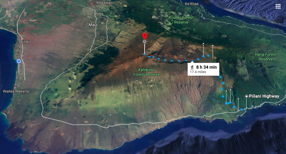
The hiking route (Google’s projected time was 8h34m, which was pretty much on the mark (I think I finished in a little over 8 hours)

The bike ride (which took about 2h45m).
Some notes on this hike:
I had 3.5 litres of water with me - it wasn’t enough. I’d recommend much more than that if you’re doing this hike.
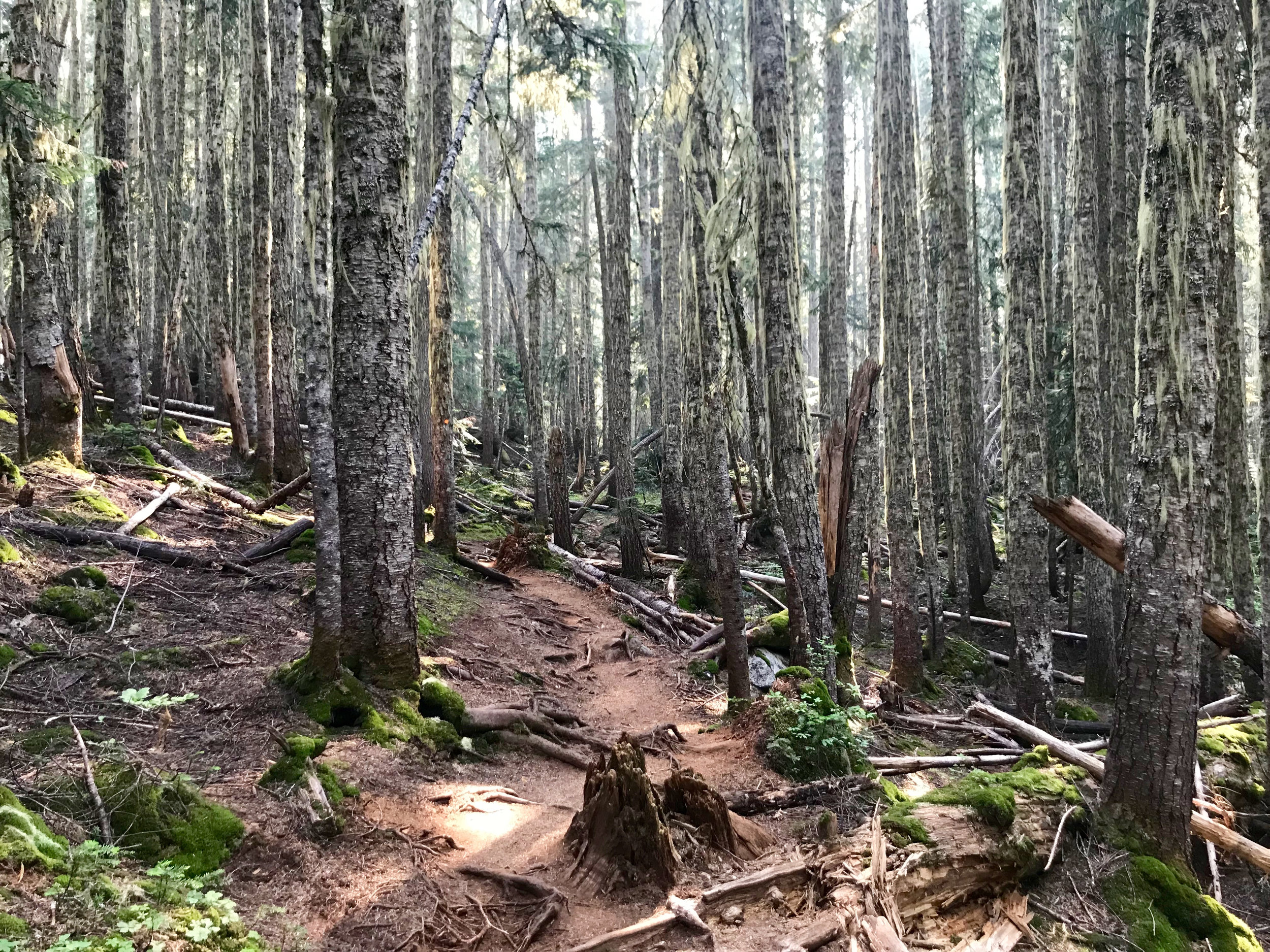
The hike from Kaupo General Store into the crater is absolutely brutal - much of the trail is like an old ATV trail with big, loose rocks (I’m used to New Zealand and British Columbia, where the trails are in much better condition!) I chalk this up to this section being rarely used.
Use a a map app! I used Gaia GPS, and made sure I had a map of the region downloaded. There were a few sections where the trail was hard to find.
I really felt the elevation/altitude at the end - the last 500m of elevation were some of the toughest I’ve done.